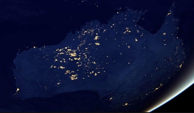
Approximately 75,000 to 50,000 years ago marks the period when humans began traversing the supercontinent Sahul to reach modern areas such as Australia, Tasmania, New Guinea, and the Aru Islands.
Recent research has uncovered more about the routes that ancient people took and the time it took them to explore this vast continent. It might have taken up to 10,000 years for these brave individuals to conquer the entire land, whereas previous estimates suggested it only took 5,000 years.

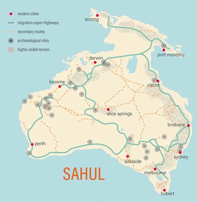
Map of the supercontinent Sahul. (Photo: Flinders University).
To validate these findings, researchers developed a more sophisticated new model that takes into account factors affecting travel, such as food availability, water distribution, and the local terrain.
Factors regarding how ancient people interacted with the landscape, ecosystems, and possibly other human species of that time could alter the results after running the model, leading to more accurate conclusions. Ecologist Corey Bradshaw from Flinders University, Australia, stated, “We can now make more accurate inferences about the patterns and processes by which ancient people settled these lands tens of thousands of years ago.”
The researchers combined data from two previously published studies. One involved a model of movement and population growth through a grid system, and the other charted the “super highways” that ancient people may have traversed based on landscape features.

Routes and population distribution in Sahul. (Photo: Bradshaw, Quaternary Science Reviews, 2023).
In addition to recalculating the time it took for ancient people to traverse the entire continent under terrain constraints, the new model also helped researchers identify a new migration corridor south through the central region of this ancient supercontinent.
The research report indicates that a person walking across this land and repeatedly choosing the main path would create a migration corridor because each individual passes on their knowledge to a few others, who gradually relay it to the remaining population. Migration may have started through Timor, moving to the western regions of New Guinea, and then rapidly expanding southward to the Gulf of Australia and northward to New Guinea.
Moreover, the report states that ancient travels to Tasmania were limited due to rising and falling sea levels in the Bass Strait. This factor was incorporated into the new model as the influence of landscape on population dispersion.
Ecologist Bradshaw noted that this updated model shows that New Guinea has been inhabited for about 5,000 to 6,000 years, with the initial central area being the Central Highlands and the Arafura Sea, later spreading to the Bismarck Archipelago in the east. Humans reached as far southeast as Tasmania around 9,000 to 10,000 years after they first set foot in Sahul.
The researchers believe that by using these models adjusted for conditions in other regions of the world, these findings could also be applied to map the migration of modern humans (or Homo erectus) out of Africa, through Asia, and into the Americas.
The findings of this research are significant in determining the direction and pace of human migration throughout history. Additionally, they serve as evidence of the advantages of combining computer models with archaeological and anthropological surveys to refine our understanding in human studies.


