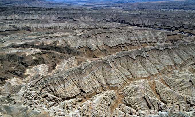
The movement of the Himalayas combined with erosion has created a stunning landscape of earth forests in the Tibet Autonomous Region, northwest China.

The unique landscape of the Zanda earth forest. (Photo: CNS)
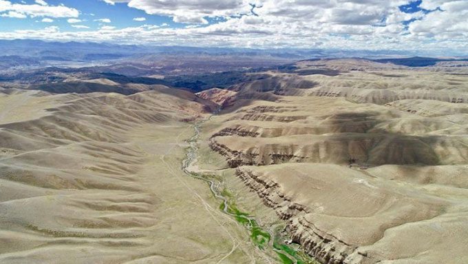
Located along the Langqen Zangbo River in the Zanda County of the Ngari Prefecture in Tibet, at an average altitude of 4,500 meters above sea level, the Zanda earth forest is the largest and most representative earth forest in the world, dating back to the Tertiary period, covering a total area of 2,464 km2.
It was recognized as a National Geopark of China in 2007. Zanda is famous for its limestone canyons, red carbonate rocks, caves, valleys, rivers, springs, lakes, and waterfalls. Viewed from above, the earth forest stretches for hundreds of kilometers, creating a majestic beauty.
The geomorphological features of Zanda are highly diverse, with formations resembling castles, watchtowers, and temples. Some appear as warriors guarding the mountain peaks, while others resemble thousands of horses galloping. Depending on the viewpoint, spectators can see different magnificent landscapes.

A river flowing through the Zanda earth forest. (Photo: Xinhua).
The Zanda earth forest was formed by the movement of the Himalayas, combined with the erosive effects of water and sediment deposition from ancient times. Some valleys reach depths of up to 200 meters.
Explore Tibet describes the experience of walking through the earth forest as akin to wandering through the ruins of an ancient kingdom, desolate yet magnificent. The best times to visit Zanda are in spring and autumn.
At dawn and dusk, the clouds shimmering with golden light on the horizon transform the earth forest into a vibrant painting. As night falls, the ancient temples by the riverside emerge solemnly and mysteriously.


