NASA’s satellite data analysis reveals that the global average sea level rose by 0.27 cm from 2021 to 2022.
The average global sea level rise during the 2021-2022 period is equivalent to adding water from one million Olympic-sized swimming pools to the oceans each day for an entire year, as reported by Interesting Engineering on March 20. This is just part of a decades-long trend of rising sea levels.

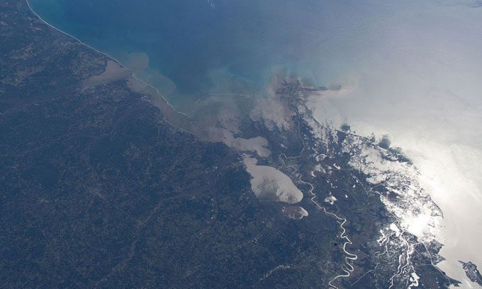
30 years of satellite data helps researchers differentiate between natural and human-caused factors leading to sea level rise. (Image: NASA)
Scientists first began observing sea level heights in 1993 with the TOPEX/Poseidon mission, a collaboration between the United States and France. Since then, the sea level has increased by 9.1 cm, according to NASA’s Sea Level Change Team.
The annual rate of sea level rise projected by researchers has also increased, from 0.2 cm per year in 1993 to 0.44 cm per year in 2022. Based on long-term satellite measurements, the sea level rise is expected to reach 0.66 cm per year by 2050.
“We have a clearer view of sea level rise and can better predict the magnitude and speed of ocean rises. This is thanks to NASA and the French National Center for Space Studies (CNES) collecting ocean observations over decades. By combining that data with other NASA measurements, we can understand why sea levels are rising,” stated Karen St. Germain, director of NASA’s Earth Science Division.
“These foundational climate observations help shape the actions of many federal and international agencies working with coastal communities to mitigate and respond to rising water levels,” Germain added.
La Niña is a phenomenon characterized by cooler sea surface temperatures in the central and eastern Pacific Ocean compared to normal conditions. Due to a mild La Niña event, the sea level rise in 2022 was lower than the annual projections. During strong La Niña years, global sea levels can temporarily decrease as weather patterns shift, resulting in less rainfall over the oceans and more on land.
Thirty years ago, sea level height measurement began with TOPEX/Poseidon and continued through four NASA missions in partnership with organizations such as the European Space Agency (ESA), CNES, and the National Oceanic and Atmospheric Administration (NOAA). The latest mission in this series is Sentinel-6/Jason-CS, which comprises two satellites capable of continuing measurements until 2030. The first satellite in this duo was launched in 2020, while the second is expected to enter orbit in 2025.


