Scientists have reported that 136,000 km2 of ice in Antarctica has melted as of February 25, causing the ice coverage in the region to reach a record low.
“Antarctic ice may have dropped to its lowest level of the year, measuring approximately 1.79 million km2 on February 21,” USA Today cited a statement from the U.S. National Snow and Ice Data Center.

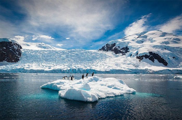
Penguins on a small iceberg in Antarctica. (Photo: Irish Times/David Merrion).
This is the lowest level recorded since data collection began in 1979, breaking the previous year’s record of 1.92 million km2. According to scientists, the 136,000 km2 of ice that has melted in Antarctica over the past year is equivalent to an area double the size of Tasmania, Australia.
“The Antarctic response to climate change differs from that of the Arctic,” said Ted Scambos, a senior scientist at the Earth Science Institute and ice data analyst.
“The ongoing trend of decreasing ice area may signal that global warming is impacting the floating ice surrounding Antarctica,” he added.
For the past 44 years, scientists have been monitoring the amount of floating ice in the oceans around the 18,000 km-long coastline of Antarctica using satellite technology, according to the Guardian.
The fate of Antarctica is crucial because the ice in this region has the potential to significantly raise sea levels if it melts.


