Scientists have been working for years to find ways to navigate the surface of the Moon, as there are no devices like GPS available there. The Moon’s atmosphere is significantly thinner than that of Earth, making it difficult to determine the size and distance of distant landmarks when looking at the horizon.
However, NASA has now developed an AI system to guide explorers across the lunar surface. Alvin Yew, a research engineer at NASA in Greenbelt, Maryland, is creating an AI navigation system for astronauts. Just like our GPS accurately pinpoints locations on Earth, Yew is teaching this AI device to mimic the characteristics of the lunar horizon.
This technology has been developed using data from NASA’s Lunar Reconnaissance Orbiter. It utilizes the Lunar Orbiter Laser Altimeter (LOLA), which measures the slope and roughness of the Moon’s surface, creating high-resolution topographic maps of the Moon.
 NASA has developed an AI system to guide explorers across the lunar surface.
These digitized panoramic images are then matched with various photographs taken by an explorer or astronaut against known rocks, mountain ranges, and even craters, allowing for precise location identification of any given area.
Alvin Yew states, “To geolocate safely and scientifically, it is crucial for explorers to know their exact position while navigating the lunar landscape. Conceptually, it’s like going out and trying to determine your location by surveying the horizon and surrounding landmarks.”
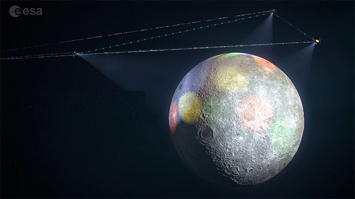
Yew’s AI system will also support LunaNet, the forthcoming internet network for the Moon. According to NASA researchers, this collection of lunar satellites aims to provide internet connectivity equivalent to that on Earth. The idea is that LunaNet will serve as a network that future spacecraft and astronauts can access without needing to set up data transmissions beforehand, as current space missions do.
According to NASA, this system could be developed into a handheld device, combining the capabilities of AI and GIANT (Goddard Image Analysis and Navigation Tool). Initially, the system will undergo its steps in a virtual environment before using real lunar landscape data from one of the Artemis missions.


