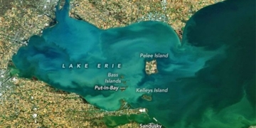
Using techniques for measuring angles and distances, Leonardo was able to depict the city of Imola in Italy from a perspective similar to that of a modern satellite map.
- Video: A couple pulling up a net nearly capsized their boat due to this gigantic “monster”
- Video: Three men struggling with a bent fishing rod, surprised by the size of the fish they pulled up
- The strangest and craziest experiments conducted by scientists on their own bodies
- Video: A black bear casually walking on two legs to “sightsee” has gone viral


