Vienna (Austria), St. Petersburg (Russia), Paris (France), London (England)… are cities along rivers that have been thoughtfully planned to ensure convenience for irrigation and architectural harmony.
1. Seine River (Paris, France)
The Seine River is approximately 700 km long, flowing through various administrative areas of France, with the most famous stretch running through the city of Paris.
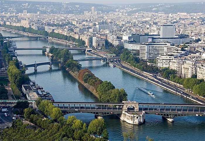
The Seine River viewed from the Eiffel Tower. (Photo: Arcreevy)
The Seine flows through 10 of the 20 districts of Paris. There are dozens of bridges crossing the Seine within the capital of France, each showcasing its own unique beauty.
Along the riverbank, there are many famous landmarks such as the Eiffel Tower (West Bank), Notre-Dame Cathedral (East Bank), Place de la Concorde, the Louvre Museum, and the Tuileries Garden… The architectural ensemble along the banks of the Seine has been recognized by UNESCO as a World Heritage Site.
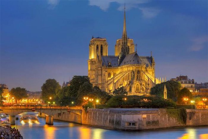
An ancient architectural structure standing majestically by the Seine River. (Photo: Gray Line)
2. Neva River (St. Petersburg, Russia)
The Neva River is 74 km long, flowing from Lake Ladoga through the Karelia Isthmus and the city of St. Petersburg (Russia) into the Gulf of Finland. The stretch flowing through St. Petersburg is 28 km long.
The architectural ensemble along the Neva River began construction in the 17th and 18th centuries, reflecting Tsar Peter the Great’s vision of a river city that combines convenience for irrigation with architectural harmony.
Among the famous architectural landmarks casting reflections on the Neva River, three sites attract considerable attention from tourists: the Winter Palace, the Summer Palace, and St. Isaac’s Cathedral.
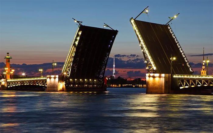
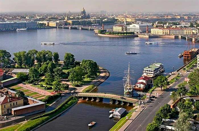
The famous drawbridge across the Neva River. (Photo: Goodwp)
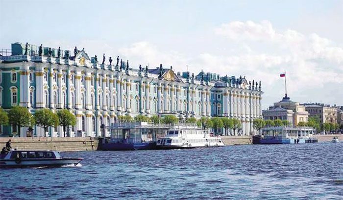
The Winter Palace by the Neva River.
3. Danube River (Vienna, Austria)
The Danube is the second longest river in Europe (after the Volga in Russia). It originates from the Black Forest region of Germany and flows through many European countries. The stretch flowing through Austria, specifically the capital Vienna, is considered the most beautiful and picturesque.
The Danube divides the city of Vienna into two halves. One half is the historic and culturally rich Vienna, while the other is the youthful, vibrant, and modern Vienna.
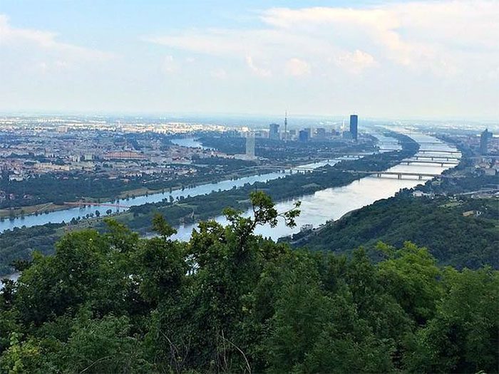
The Danube winding through Vienna.
Famous landmarks of Vienna located along the Danube include St. Stephen’s Cathedral and Schönbrunn Palace… Situated between the two branches of the Danube in Vienna is the Danube Island – a vast area for city residents and tourists to engage in outdoor recreational activities.
4. Thames River (London, England)
The picturesque Thames River flows through the capital of England and has long been a symbol of London.
Along the banks of the Thames, there is a peaceful and serene landscape, with architectural structures that are both ancient and modern, such as the Big Ben clock tower, the London Eye, Tower Bridge, Windsor Castle, Eton College – one of the most famous schools in the UK, St. Paul’s Cathedral, Tate Modern Museum, and Shakespeare’s Globe Theatre…
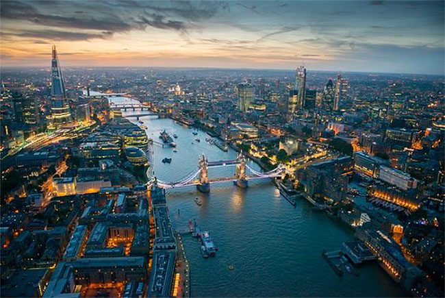
The Thames River seen from above.
5. Huangpu River (Shanghai, China)
The Huangpu River is located in the lower reaches of the Yangtze River, within the city of Shanghai (China). It is not only the mother river of Shanghai but also a miniature image that represents this city.
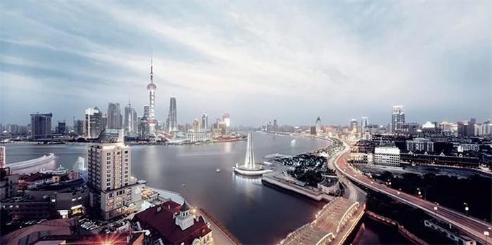
The Huangpu River viewed from above.
The Huangpu River, with its 9 tunnels beneath the riverbed, divides Shanghai into the East and West banks. The East bank is glamorous and modern, while the West bank is ancient and majestic.
Famous landmarks associated with the Huangpu River include the Yangpu Bridge, Nanpu Bridge, and the Oriental Pearl Tower.
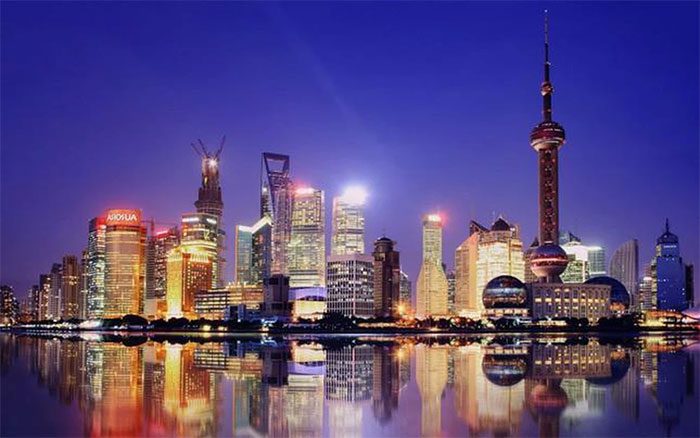
Oriental Pearl Tower (on the right).
These two bridges resemble two great dragons spanning the Huangpu River, with the Oriental Pearl Tower in between, creating a picture titled “Two Dragons Playing with a Pearl.”
6. Hudson River (USA)
The Hudson River (in eastern New York State, USA) is a 315-mile (507 km) long river.
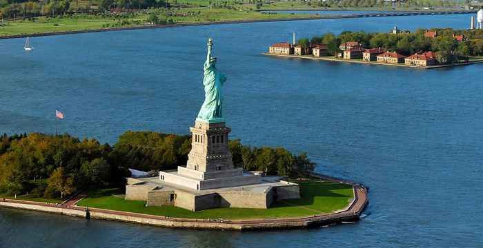
Statue of Liberty.
This river originates from the Adirondack Mountains in Upstate New York and flows southward through the Hudson Valley to Upper New York Bay, situated between New York City and Jersey City, eventually flowing into the Atlantic Ocean at the Port of New York. At its southern end, the Hudson serves as the political boundary between the states of New Jersey and New York. Further north, the river acts as the local boundary between several counties in New York…


