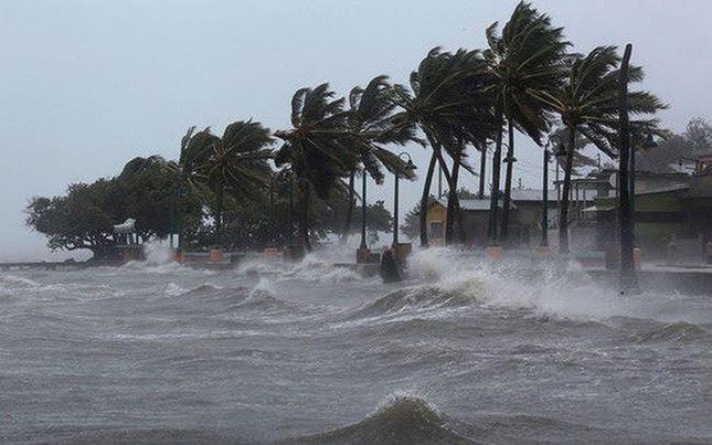
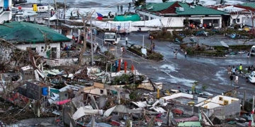
In mid-June, storms/tropical depressions may appear in the South China Sea. It is forecasted that the number of storms/tropical depressions in the South China Sea this year may be lower than the long-term average, with rainfall also being less in many areas.
The National Center for Hydro-Meteorological Forecasting reported that from now until June, the ENSO phenomenon will continue to maintain a neutral state with an 80-90% probability. Following this, sea surface temperatures in the central Pacific are expected to gradually rise and lean towards an El Niño phase, continuing into the early months of 2024.
Due to the influence of the neutral phase, followed by El Niño, this year’s rainy and storm season is expected to be less intense compared to the long-term average, particularly in comparison to the years 2020 and 2022.
Forecasts indicate that between now and May, storms and tropical depressions are unlikely to occur in the South China Sea. From mid-June onwards, storms/tropical depressions may begin to appear in this region.
From August to October, the number of storms/tropical depressions in the South China Sea is likely to be lower than the long-term average for the same period.
According to climate patterns, early-season storms typically occur in the northern part of the South China Sea and tend to move northward. From August to October, storms are likely to move towards the Northern and North Central regions.

The number of storms this year may be lower than the long-term average.
Although the number of storms is expected to be lower, this rainy and storm season may still see storms with complex developments in intensity and trajectory.
Many regions across the country are anticipating a dry summer. It is forecasted that the flood peak on rivers in the Northern region during this rainy season will generally be at warning levels (WL) 1-2, lower than the long-term average, while smaller rivers may reach levels 2-3, with floods mainly occurring between July and September 2023.
Flow into reservoirs on the Da River, Gam River, and Chay River is expected to be 10-30% lower than the long-term average, while the flow into Hoa Binh Lake is higher than the long-term average due to upstream reservoirs providing supplementary water. The flow on the Thao River and Lo River is expected to be 20-50% lower.
In the Central region and Northern Central Highlands, the flow on rivers is generally lower than the long-term average for the same period by 20-60%. However, rivers from Thua Thien Hue to Khanh Hoa and the Southern Highlands are at levels approximately 10-40% above the long-term average.
During this period, there is a need to be cautious of localized droughts outside the water supply areas of irrigation facilities in the provinces of Nghe An, Ninh Thuan, Binh Thuan, and the Central Highlands.
In the Southern region, from May to July 2023, the total flow from the upstream Mekong is expected to be lower than the long-term average by 5-10%.
While this year’s rainy season is expected to be below the long-term average, the heat is anticipated to be more intense and severe.
The Northern and Central provinces are currently experiencing a widespread heat wave, with the Northwest and North Central regions experiencing extreme heat, and in some places in Son La, temperatures have exceeded 42 degrees Celsius. This heat wave is forecasted to last until April 23.
In March, the Northern provinces and North Central region underwent a severe heat wave with numerous temperature records being set. Notably, 16 measurement points in the Northern and Central regions recorded record high temperatures during March.
In March, the average temperature in the Northern region, North, and Central North Central regions was generally 0.5-1 degrees higher than the long-term average, while the Northeast region was higher by 1-1.5 degrees.
In the first half of April, the widespread heat continued in the Northern and North Central regions, with heatwaves recorded on April 5-6 in the Northwest and April 4-6 in the North and Central North Central regions.
In the first half of April 2023, the average temperature across the country was generally 1.5-3 degrees higher than the long-term average for the same period, with some areas in the North exceeding 3 degrees.
The peak of summer this year is expected to concentrate from May to August in the Northern and North Central regions. The summer temperatures in this area are forecasted to be 0.5-1 degree higher than the long-term average. From September onwards, the heat is expected to gradually decrease.


