An unusual earthquake that destroyed villages in the Rhône Valley in France appears to have been caused by heavy rainfall in 2019, prompting scientists to seek explanations.
While no fatalities occurred during the event, and the earthquake’s impact was localized, a study published in the journal Remote Sensing indicates that human impacts on the climate can lead to unexpected indirect consequences, as reported by IFL Science on August 4.

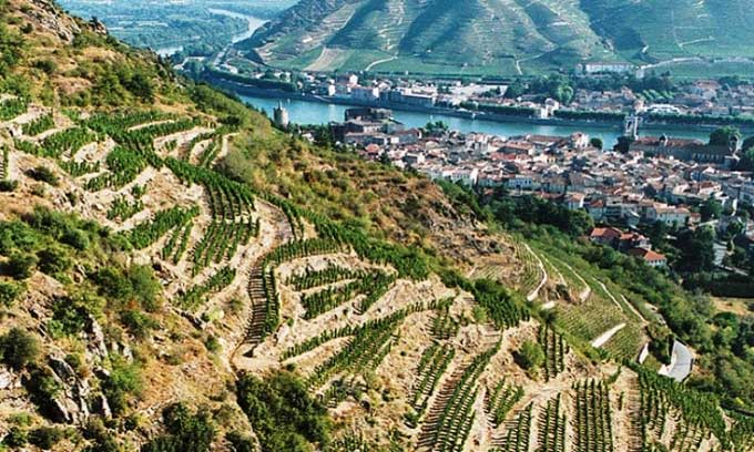
The Rhône Valley experienced a 4.9 magnitude earthquake in November 2019. (Photo: The Wine Cellarage)
Most earthquakes, particularly significant ones, occur along tectonic plate boundaries. Therefore, when an earthquake is severe enough to cause damage within a tectonic plate, geologists become very interested in the underlying causes, especially in locations that have never experienced such events before. On November 11, 2019, a 4.9 magnitude earthquake caused partial collapses of hundreds of homes in the villages of Le Teil and Saint-Thomé in southwestern France. In fact, these homes were hundreds of years old, and previous earthquakes were too minor to affect the structures. This prompted researchers to investigate the causes of the damage.
Initially, suspicion centered on a nearby quarry, but further research revealed that the culprit was the heavy rainfall from the previous month. This is quite concerning. In attempts to estimate the consequences of rising temperatures, scholars often consider sea levels, droughts, floods, and storms, but very few calculations take into account the movements of the Earth itself.
A team of scientists at the French Geological Survey developed a 3D geological model of the area surrounding the earthquake zone, including rock samples from the quarry dating back to 1850. The reduction in weight from the mined rock altered the stress forces in the area, but this process is very slow.
In contrast, the massive influx of groundwater and the saturated soil caused by heavy rainfall the previous month led to severe flooding throughout the region. Researchers utilized soil moisture data from the SMOS satellite to estimate the levels of water infiltration. They found that the pressure from the additional water reached its highest level in at least 10 years before the earthquake, reaching 1 million pascals at a depth of 1.2 km below the surface, near the intersection of two fault lines. The research team estimated that the water-induced pressure was 2.5 times greater than the pressure released from quarrying, sufficient to cause shallow fractures in the area.
The earthquake occurred at a depth of about 1 km, very close to the surface, which helps explain why the relatively small magnitude of the earthquake caused such significant damage. The pressure created by oil and gas extraction activities, particularly the subsequent discharge of wastewater, is also believed to be a cause of increased seismic activity in many parts of the world.


