Just 15 years ago, the Mekong River – the longest river in Southeast Asia – delivered approximately 143 million tons of sediment to the Mekong Delta each year. However, with hydropower dams sprouting like mushrooms upstream, more than 2/3 of that sediment has been blocked.
A satellite data analysis conducted by the German remote sensing company EOMAP, along with the Mekong River Commission and an investigation by Reuters, revealed that by 2020, only about 1/3 of the sediment reached Vietnam’s floodplain, equating to just 47 million tons of sediment per year.

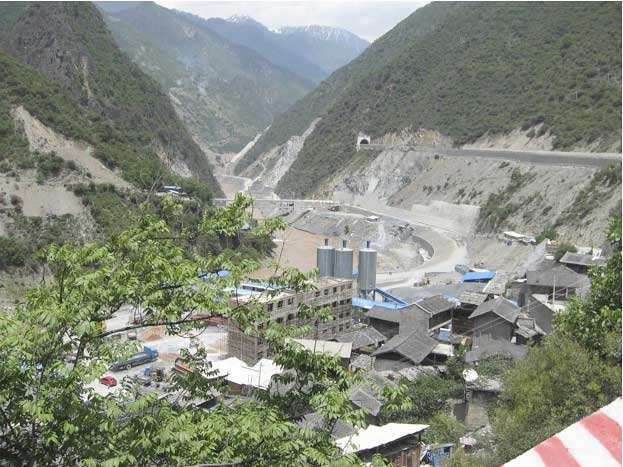
Wunonglong Dam on the Lancang River (Mekong River section in China) – (Photo: FLICKR)
In reality, the current sediment flow could be much lower – estimated to be only about 32 million tons per year.
At the current rate of decline, researchers estimate that by 2040, the Mekong Delta will receive less than 5 million tons of sediment per year.
Stretching nearly 5,000 km from the Tibetan Plateau to the South China Sea, the Mekong River is the lifeblood for the agriculture and fisheries of tens of millions of people as it flows through China, Laos, Myanmar, Thailand, and Cambodia before reaching Vietnam.
For decades, scientists and environmentalists have warned about the impacts of dam projects upstream. This poses a threat to the livelihoods of a region with approximately 18 million people and an annual rice market worth $10.5 billion.
This area is a primary food source for 200 million people across Asia, according to estimates from the World Wildlife Fund (WWF), Reuters, and the Vietnam Chamber of Commerce and Industry.
According to the Mekong Dam Monitor, an online platform providing real-time data on dams and their environmental impacts, this concern is shared by downstream Mekong countries, and Cambodia has temporarily suspended plans to build two dams on the river.
China, aiming to enhance renewable energy to reduce dependence on coal, has built at least 95 hydropower dams on the tributaries leading to the Mekong River. An additional 11 dams have been constructed since 1995 on the main river in China – including 5 large dams, each over 100 meters high.

Waterways in the Mekong Delta – (Photo: VIATOR).
The Chinese Ministry of Foreign Affairs states that China occupies only 1/5 of the Mekong River basin area and contributes 13.5% of the river’s outflow. They also mentioned that there has been “scientific consensus” regarding China’s overall impact upstream of the Mekong.
However, China does not address the significant decline in sediment levels or the role of Chinese dams in that decline.
Analysis conducted by EOMAP and Reuters tells a different story.
Using data obtained from thousands of satellite images, EOMAP and Reuters analyzed sediment levels around four major dams on the Mekong River.
The analysis showed that the presence of each dam significantly reduced the sediment that would otherwise flow past those locations – by an average of 81% of the sediment flow across the four dams.
Marc Goichot, a river expert from WWF in Vietnam, stated: “The dams are retaining sediment. Each dam retains a certain amount, so there isn’t enough sediment reaching the floodplains.”
He further commented: “Sediment and delta environments can regenerate and rebuild themselves. But the natural balance is being disrupted too quickly in the Mekong River, which prevents sediment from keeping up.“
The area of rice cultivation has decreased by 5% in just the past five years. Many farmers have turned to shrimp farming in brackish waters as an alternative, and incomes in this once-thriving region have been significantly affected.
The Mekong Delta has also seen higher rates of emigration than any other region in Vietnam since 2009, according to the Vietnam Chamber of Commerce and Industry.


