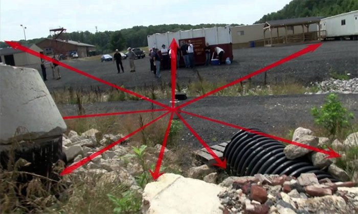
NASA has deployed the FINDER (Finding Individuals for Disaster and Emergency Response) device to Turkey to assist in searching for survivors after the earthquake. This device utilizes microwave radar technology to detect heartbeats and breaths of individuals trapped beneath rubble, debris, and other terrains.

This device uses microwave radar sensors to locate survivors under rubble.
The technology developed by NASA can detect the slightest movements of the body caused by essential life processes and will be utilized by rescue teams in the earthquake-affected region of Turkey, Space reported on February 16. The device, named FINDER (Finding Individuals for Disaster Emergency Response), uses microwave radar sensors to locate survivors under rubble or landslides by detecting their heartbeat and breath.
NASA announced that the technology was sent to Turkey last week, nearly a week after a series of earthquakes destroyed thousands of homes in cities and towns along the Turkey-Syria border. According to Reuters, over 41,000 people have been confirmed dead since February 6, the day two powerful earthquakes measuring 7.8 and 7.6 struck the region. On-site rescue personnel may be skeptical about finding survivors ten days after the disaster. However, authorities have still discovered some people alive. For instance, on February 14, Reuters reported that nine survivors were pulled from the rubble in various cities.
The FINDER technology was developed by a research team at NASA’s Jet Propulsion Laboratory in California following the 2010 earthquake in Haiti, and it was later commercialized by SpecOps Group in Florida. FINDER is just one example of NASA’s efforts to assist Turkey. Previously, several NASA satellites collected images of the earthquake-affected areas to help assess the damage and guide rescue personnel.
Among the space-based support tools is the EMIT (Earth Surface Mineral Dust Source Investigation) device, which was sent to the International Space Station last July and installed on the station’s robotic arm. Scientists hope that although designed to analyze atmospheric dust composition, EMIT may detect dangerous gas leaks from pipelines damaged by the earthquake.
Data from other Earth observation devices will help improve interaction models of the tectonic plates in the affected region along the border between southern Turkey and western Syria. The pressure between the Anatolian, Arabian, and African tectonic plates makes this area a seismic hotspot. However, experts describe the series of earthquakes on February 6 as the worst in decades. Computer models based on satellite measurements may help researchers assess the likelihood of aftershocks around major fault lines.


