Meteorology experts predict that the South China Sea may experience another storm next week, and northern regions will continue to see heavy rain.
Dr. Hoàng Phúc Lâm, Deputy Director of the National Center for Meteorological and Hydrological Forecasting, stated that a new low-pressure area has formed along the tropical convergence zone affected by Typhoon Talim (Storm No. 1). A low-pressure system developed on the morning of July 18, and it is expected to intensify into a tropical depression and possibly a storm within the next 1-2 days.

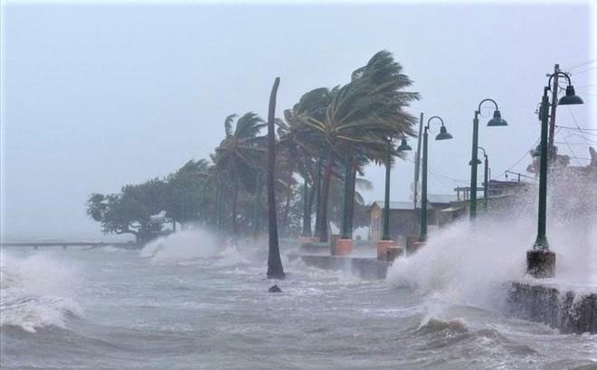
High likelihood of Storm No. 2 by the end of July. (Illustration).
“There is a high possibility that this will be Storm No. 2 affecting our country in the last days of July. We are monitoring the situation closely and will provide early warnings about this potential storm’s development. Meanwhile, due to the influence of the southern edge of the circulation from Storm No. 1 (Typhoon Talim), the northern regions will continue to experience rain, particularly with concerns about flash floods and landslides in mountainous provinces…”, Dr. Lâm added.
According to the National Center for Meteorological and Hydrological Forecasting, from the evening of July 19 to July 21, the Northern Delta and North Central regions will experience moderate rain and thunderstorms, with heavy rain in some areas reaching 40-70mm, and localized areas exceeding 100mm. Heavy rainfall in the Central Highlands and Southern regions is also expected to persist for several days.
Residents should be cautious of the risk of flash floods and landslides in mountainous areas, as well as flooding in low-lying and depressed areas; there is a high risk of flash floods and landslides in provinces such as Quảng Ninh, Lạng Sơn, Cao Bằng, Hà Giang, Lào Cai, and Yên Bái. Be aware of intense rainfall occurring over short periods, which could lead to urban flooding. Thunderstorms may also bring whirlwinds, lightning, hail, and strong gusts of wind.
Warning from the evening of July 19 and July 20, the waters from Khánh Hòa to Cà Mau, and the western sea area of the South China Sea (including the waters west of the Spratly Islands) will experience southwest winds of level 6, gusting to level 7; waves will be 2.0-3.0 meters high; the sea will be rough.
Disaster risk warning due to strong winds at sea in the next 24 hours: the Gulf of Bắc Bộ, the South China Sea (including the waters around the Paracel and Spratly Islands), the waters from Khánh Hòa to Cà Mau, Cà Mau to Kiên Giang, and the Gulf of Thailand: level 2. All vessels and other activities in these maritime areas are at high risk of being affected by strong winds and large waves.


