Researchers from the Desert Research Institute (DRI), Colorado State University, and the Missouri University of Science and Technology estimate that global groundwater reserves are lost at a rate of up to 17 km3 per year.
To study the impact of groundwater extraction, the team of scientists created a groundwater map using remote sensing, model-based datasets, and machine learning technology. This map serves as a valuable tool for assessing the extent of land subsidence in affected areas and identifying regions experiencing groundwater shortages, thereby aiding in the development of sustainable water management strategies.

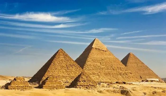
Great Pyramid of Giza.
According to the research team, their analytical model estimates that global groundwater reserves are being depleted by up to 17 km3 per year—equivalent to the volume of 7,000 Great Pyramid of Giza. This level of depletion is permanent, leading to a reduced capacity for water capture and storage.
The team emphasizes the necessity of implementing sustainable groundwater management practices, particularly in agricultural and urban areas, which account for 73% of the subsidence depicted on their map.
According to DRI Professor Sayantan Majumdar, “With this research, we aim to gain a clearer understanding of global subsidence to assist local management authorities.” The study helps experts identify subsidence areas in both known and unknown regions, regardless of whether they are experiencing groundwater shortages.
Groundwater is the water stored underground in sedimentary rock layers such as gravel, sand, and silt, as well as in fractures and karst caves beneath the Earth’s surface, which can be tapped for human activities.
Over-extraction of groundwater is a pressing issue in many regions. Additionally, climate change is exacerbating the situation, leading to subsidence and depletion of water resources.


