Forecast for April 29-30: This low-pressure area is likely to strengthen into a tropical depression (with a probability of 50-60%).

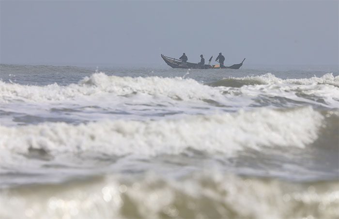
This is the transitional season, characterized by high temperatures and frequent thunderstorms. (Illustrative image).
Due to the influence of the circulation of the low-pressure area (which may strengthen into a tropical depression), the central and southern regions of the East Sea (including the waters around the Spratly Islands) and the sea area from Binh Dinh to Ca Mau will experience rain showers and thunderstorms, with potential for severe thunderstorms, whirlwinds, and strong gusts.
According to Deputy Director Hoang Phuc Lam, from the night of April 30 to May 1, due to the influence of the Northeast monsoon, winds over the Gulf of Tonkin and the northern East Sea (including the Paracel Islands) will gradually strengthen to level 6, with gusts reaching levels 7 to 8-9, wave heights of 2-3 meters, and strong sea disturbances.
Regarding the trend of rainfall in the coming days, Deputy Director Hoang Phuc Lam indicated that from the night of April 30 to May 1, the northern region and from May 1-2, the area from Thanh Hoa to Thua Thien-Hue may experience moderate to heavy rainfall, with localized very heavy rain and thunderstorms. From April 29 to May 3, the South Central Coast, Central Highlands, and Southern regions are likely to experience widespread thunderstorms, with localized heavy to very heavy rain.
“During the transitional season, with high temperatures, thunderstorms often accompany very dangerous weather phenomena such as whirlwinds, lightning, hail, and strong gusts,” emphasized Deputy Director Hoang Phuc Lam.


